

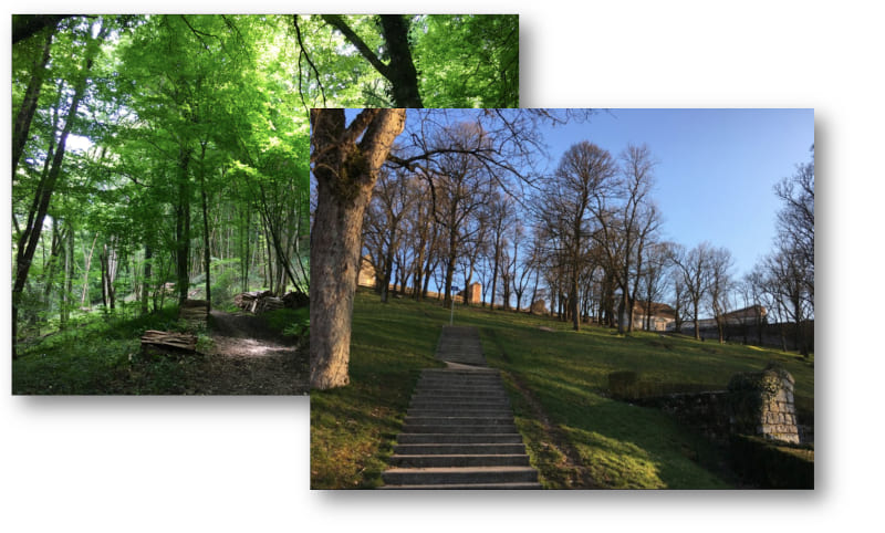
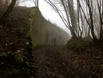
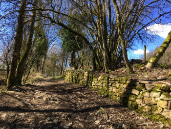
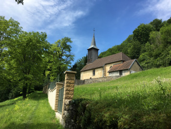
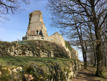
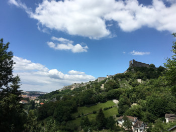
Come and live in Besançon and its agglomeration a unique trail experience harmoniously combining the discovery of UNESCO-listed cultural heritage and exceptional panoramas.
2 starting sites, 15 trail routes for 185 kilometers on the Grand Besançon, accessible to all and classified by levels of difficulty and by course categories. Choose your outings according to your level and your desires and discover the city and its environment from a different angle!


7.8km 113m 113m
Morre
Route opened
11.18km 343m 343m
Morre
Route opened
6.6km 322m 322m
Avanne-Aveney
Route opened
14.8km 730m 730m
Morre
Route opened
9.93km 341m 341m
Morre
Route opened
19.39km 868m 868m
Avanne-Aveney
Route opened
21km 800m 800m
Morre
Route opened
13.71km 290m 290m
Avanne-Aveney
Route opened
21.4km 1100m 1100m
Morre
Route opened
28.7km 870m 870m
Avanne-Aveney
Route opened
34.2km 1430m 1430m
Morre
Route opened

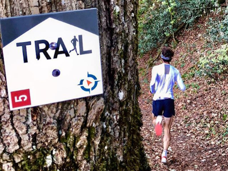
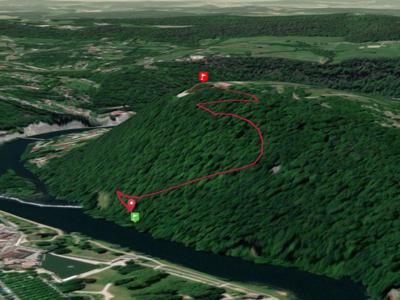
To orient you during your run, routes of Besançon Grandes Heures Nature are equipped with trail directional markers. Each marker is printed with the number(s) of the itinerary(s) to be followed with their colour of difficulty (green - blue - red - black) or their particularity (orange = vertical; purple = trail running challenge).
The trail-running markers are placed in a regular way, at each directional change. Between two trail directional markers, follow the existing hiking markers.
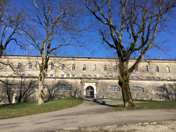
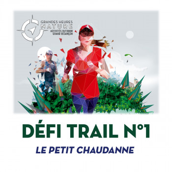
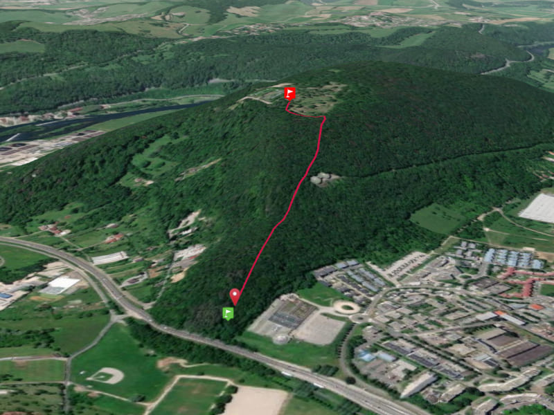
Besançon Grandes Heures Nature offers you 7 timed courses, with the assault of the forts of Chaudanne and Rosemont. Come and measure yourself against the other runners, whenever you want, thanks to this permanent timing system DéfiTrail.
It's up to you to take up the challenge!
Start : Besançon I Arrival : Fort de Chaudanne
From the edge of the Doubs, climb to the Fort de Chaudanne and achieve the best time! A dry climb of about 1 km for 170m+ of positive difference in altitude ideal for lovers of intense efforts! Time yourself and compare your performance with the others.
Start : Planoise I Arrival : Fort de Planoise
Take up the Challenge on the Planoise climb: a dry climb of 1 km up to the Fort of Planoise for a total of 170m of positive difference in altitude. Time yourself using the Besançon - Grandes Heures Nature smartphone application and compare your time to others.

the digital trails


![]()
Info & contacts
Ville de Besançon
Direction des Sports
+33(0)3 81 41 23 05
Grand Besançon Métropole
Service Tourisme
+33(0)3 81 87 88 61

